Is the waterworth the drive?Know in seconds.
Watercast puts the live USGS gauge nearest your spot on your phone: depth, water temp, a 0 to 100 conditions score, and a forecast for the hours ahead. Built for anglers, paddlers, and swimmers who are tired of finding out at the ramp.
iPhone & Apple Watch
Real gauge readings
Depth, temp, and a 0 to 100 score from the nearest USGS station.
Alerts you set
Set a depth line once and stop refreshing the USGS site.
USGS
Water & gauge data
NOAA
Ocean, climate & environment
NWS
Forecasts & weather alerts
Open-Meteo
Meteorological forecasts
Live conditions
One station. Everything it knows.
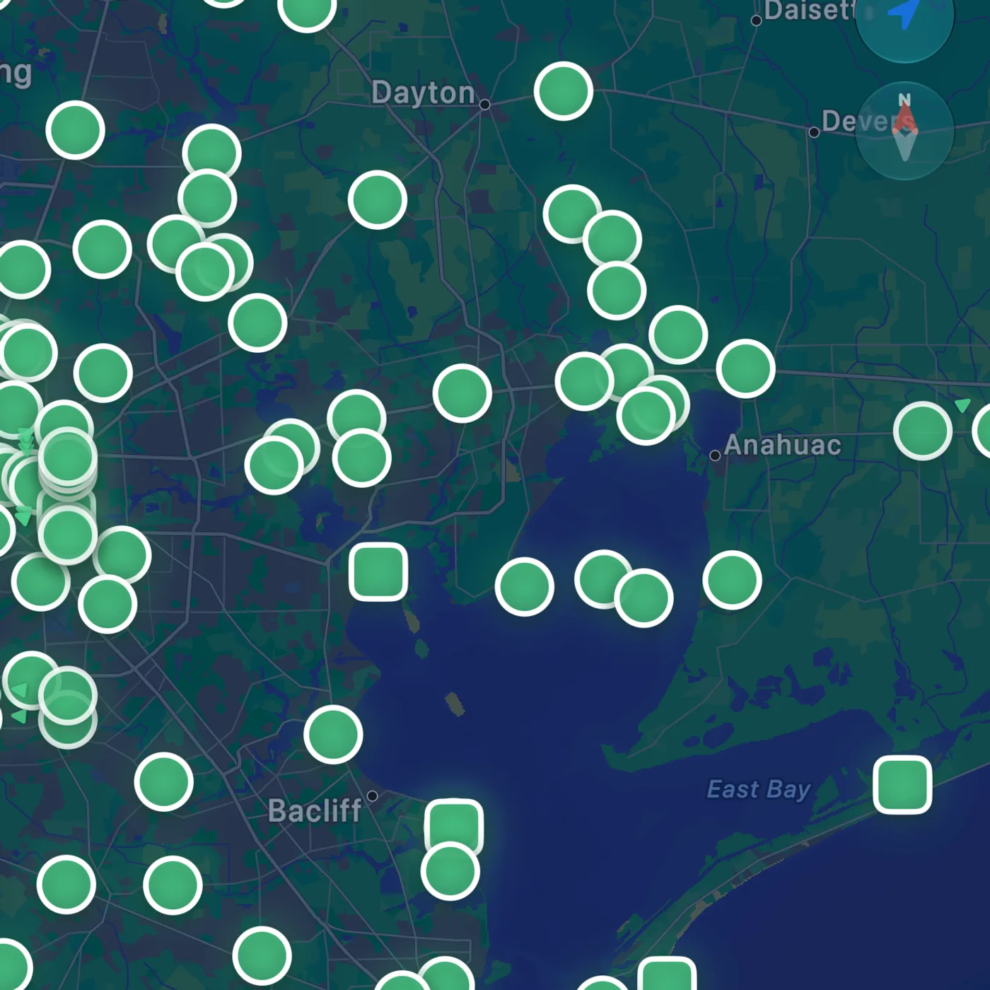
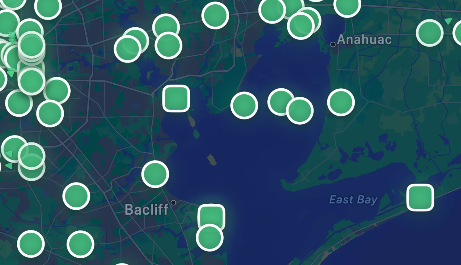
Skip the agency websites. Tap any station on the map and Watercast lays out what the water is doing right now, what it did this year, and where it’s heading next.
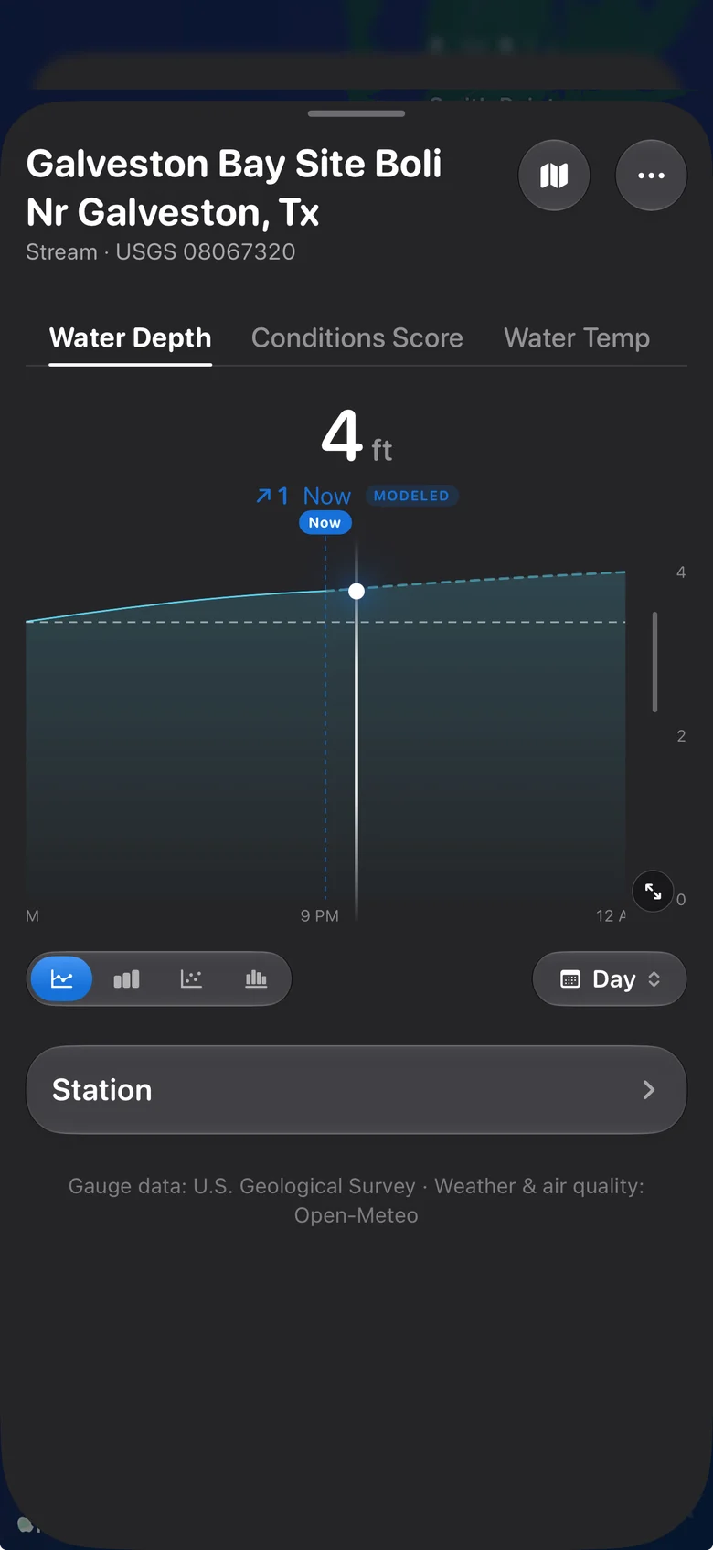
Depth, right now
Live stage from the USGS gauge at your launch, with water temperature and a 0 to 100 conditions score, so you know which way it's heading before you load the truck.
9:41Where it's heading
A forecast line carries the reading through tonight and tomorrow morning, clearly labeled as modeled, so you can pick the hour, not just the day.
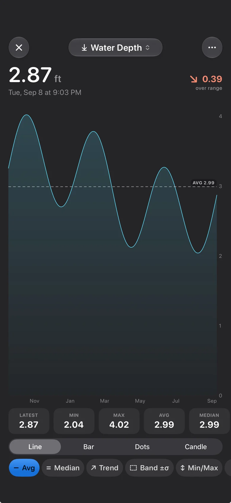
A full year of history
Min, max, average, and median for the past twelve months, so you can see whether this spot is usually good in October or only looks that way.
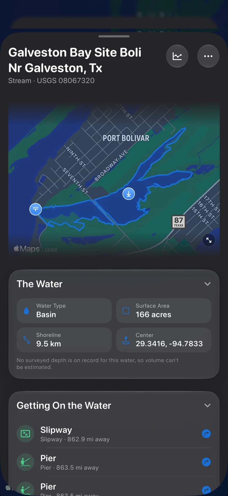
9:41The water itself
Surface area, shoreline, water type, and the boat ramps, piers, and slipways nearby, with directions in a tap.
9:41
Built for real trips
Do the pre-trip check from the couch.
The two things a website can’t do: watch the gauge for you, and keep working when the signal quits.
Set a line. Get a ping.
Custom alerts on depth, temperature, score, or wind at the spots you save. Watercast watches the gauge so you don’t have to keep checking.
Watercast
now
Galveston Bay dropped below 3.0 ft. Conditions score fell 70 → 54.
Maps past the last bar.
Download waterway maps before you leave and they keep working when the signal doesn’t.
Galveston Bay
Lake Livingston
Brazos River
Set your first alert in under a minute.
Activity tracking
Track the session. Keep the conditions.
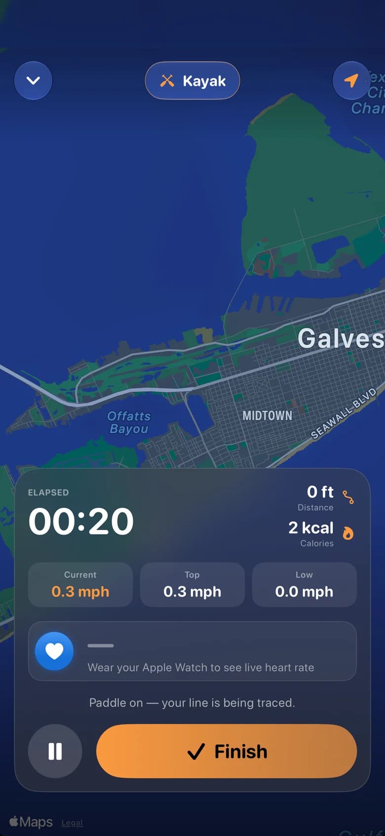
Start a session and Watercast traces your route, speed, distance, time, and calories as you go. When you stop, it saves the day’s depth, temp, and score alongside it, so you know what the water was doing when it was good.
Route
Traced on the map
Speed
Current and top, live
Distance
GPS miles and calories
Heart rate
From Apple Watch
Pairs with Apple Watch
Live heart rate on every session, straight from your wrist.
Conditions logged
Score 70 · 86.7°F · 4 ft
Route traced
6.4 mi
Journal & achievements
Every day on the water, counted.
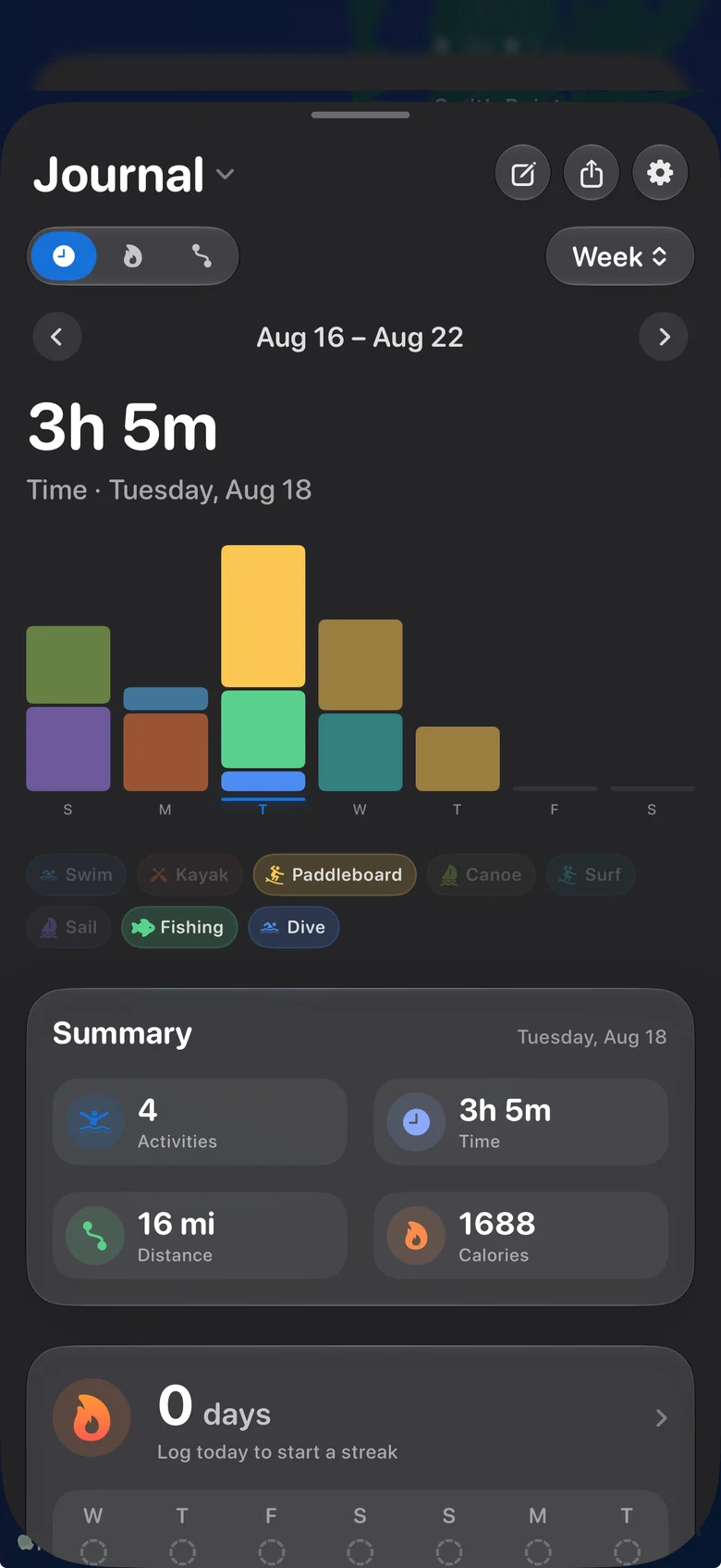
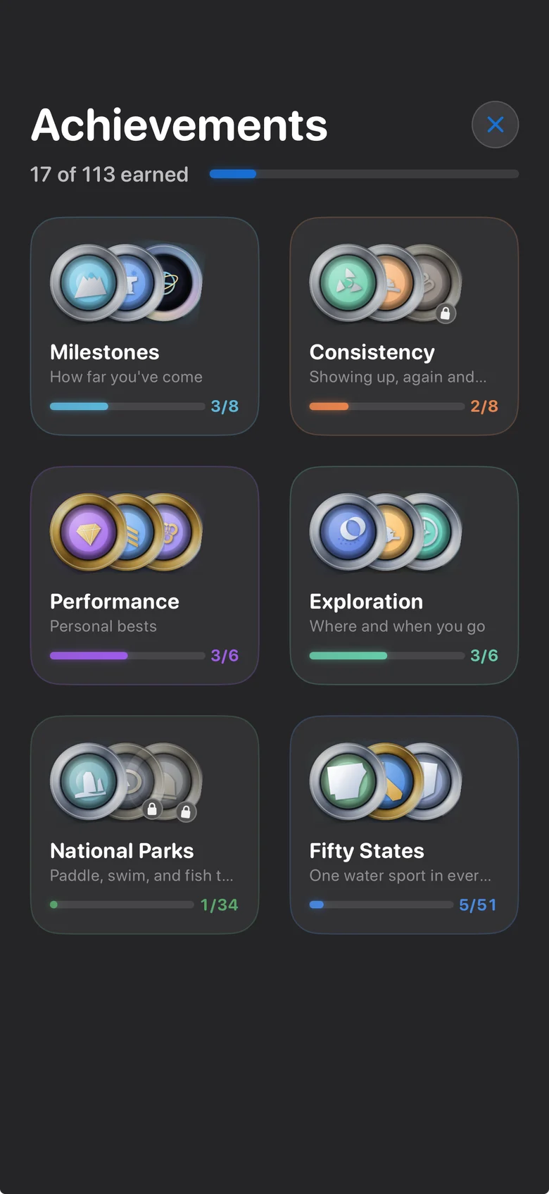
Every session lands in a journal that adds up by day, week, and spot. Streaks keep you honest. Achievements give the year a shape, from your first paddle to a water sport in all fifty states.
Day, week, month
Journal views
Streaks
Log today to keep it
113
Achievements to earn
Available on iPhone
Check it tonight. Go tomorrow.
Save your first spot, and the next time you wonder whether the water’s worth it, the answer is already on your phone.
Takes a minute to set up your first spot.